A free program for Android, by RIWA GmbH.
RIWA is the leading provider of geospatial Information System (GIS) software.
With over 20 years of experience, it offers a full range of capabilities in the areas of geospatial information, geospatial technology, and data analysis.
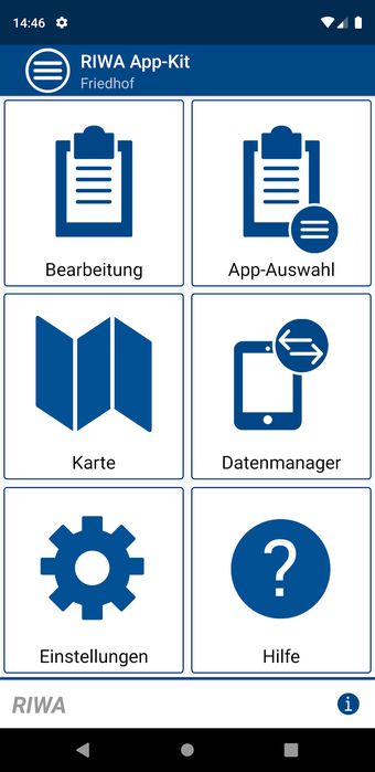
What can you do with RIWA?
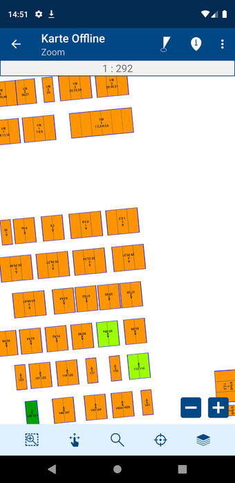
Use the RIWA App-Kit to import data from various sources such as the canal and water network, the land, or parts of it.
Import data from the source to the field by selecting the desired element or the element range.
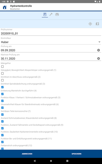
You can also import data from the field. For example, you can use the app to record the locations of the gates at the entrance to the waterway.
Record the positions, the types of gates, the opening and closing times, etc.
Use the app to record the positions and types of the control points.
Use the app to record the water levels, the flow rates, etc.
Use the app to record the data for the different elements such as the land, the water, the canal, etc.